Geo APIs for developers.
The best Google Maps API alternative - with individual support from our developers. Optimized for tourism, outdoors, publishers and startups.
![]()


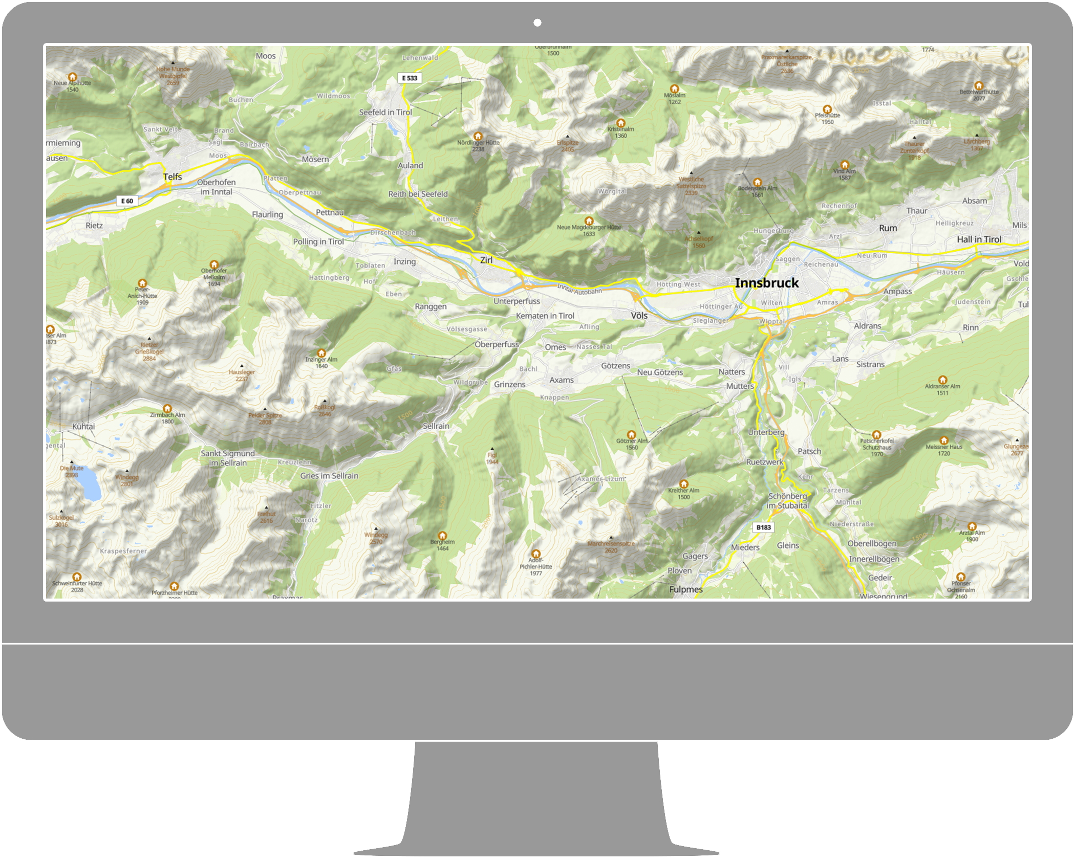
Map framework Maptoolkit
Maptoolkit (MTK) is a framework of APIs and technologies for the development of compelling geodata applications, created and hosted by Toursprung.

Cartography & APIs
Maptoolkit is a framework of cartography and a set of specific APIs to enable cutting-edge map applications.
Solutions
Customers from several industries such as tourism, publishing, government and online portals & startups use our map technology.